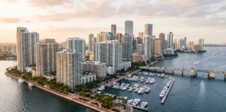

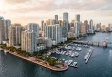





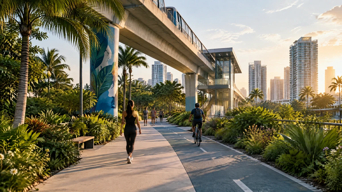
For buyers comparing Miami with other U.S. or international markets, the most useful question is often not “Which building looks best?” It is “What can I do from this address on an ordinary Tuesday?” The Underline Miami puts that question at the center of the conversation. The linear park and urban trail are being built beneath the Metrorail guideway, connecting Brickell and the Miami River area with Dadeland South through a corridor designed for movement, recreation, and community life.
The project does not establish that every nearby home will become more valuable, and it does not turn the entire South Corridor into a car-free district. Its practical relevance is more grounded: it gives a buyer another way to measure how an address works. With the general completion expected in 2026, the right approach is to assess the parts that are already open, the sections still being built, and the actual route between a property and the destinations that matter to you.
Why The Underline changes the way buyers read Miami
The Underline covers 120 acres of public land and is planned as a roughly 10-mile multimodal corridor. The completed project is expected to connect eight Metrorail stations and serve surrounding communities with pedestrian and bicycle paths, intersection improvements, lighting, wayfinding, and public recreation. The county describes access to one university, 24 schools, two hospitals, three urgent care facilities, four major malls, and more than 10,000 businesses along its path.
Those details matter because they turn “walkability” into a set of possible routines rather than a lifestyle label. A buyer may care about reaching a station for a commute, giving children a place to play, exercising outdoors, meeting friends at a public space, or reducing the number of short car trips. Another buyer may want a Miami base that works between longer international stays. The same corridor can serve those needs differently depending on the exact block, crossing, building, and schedule.
A corridor, not one uniform neighborhood
The Underline is not a single destination with identical conditions from Brickell to Dadeland. Phase 1, Brickell Backyard, opened in 2021. Phase 2 opened in 2024 and links the Miami River area with the Roads, Shenandoah, and Silver Bluff neighborhoods. Phase 3 covers 7.36 miles between the Vizcaya area and Dadeland South and remains part of the work leading to the expected 2026 completion.
That phased reality is essential for a property search. A listing may be close to a future amenity on a map while the route is still affected by construction, temporary access, or an unfinished connection. Conversely, an address near an open segment may already offer a usable routine today. Treat the corridor as a sequence of experiences, not as a blanket feature for every property with “The Underline” in its description.
How to test the everyday experience before buying
A map is a starting point, not a substitute for a visit. When you shortlist a home, repeat the route at the times you would actually use it. Walk from the building entrance to the nearest station, grocery store, school route, park entrance, or workplace connection. Note the crossings, shade, sidewalk continuity, lighting, traffic, noise, and the time required at a normal pace.

Then test the return trip. Miami heat, rain, bags, a stroller, a bicycle, or a late arrival can change the experience. If you expect to use Metrorail, check the path from the lobby to the platform rather than measuring only a straight-line distance. If you want a second home, ask whether the public spaces and businesses you value are active during the months you normally visit.
Four questions for each shortlisted address
- What is genuinely open today? Separate existing parks, paths, and station access from amenities listed as planned or under construction.
- What is the practical route? Measure door-to-destination time, crossings, elevation changes, shade, and alternatives when weather is poor.
- What will you hear and see? A corridor can bring activity and convenience, but also event sound, traffic, trains, construction, or more foot traffic near a building.
- Does the building support the routine? Check entry access, bicycle storage, parking, package handling, common-area rules, and the building’s own maintenance standards.
A practical real-estate decision framework
Use the following comparison before allowing proximity to become the deciding factor:
| Decision area | What to verify in person | Why it matters |
|---|---|---|
| Daily mobility | Door-to-station and door-to-destination times | A short map distance may still involve difficult crossings or an indirect entrance. |
| Current versus future use | Open facilities, active works, and expected completion | A future amenity should be treated as a possibility, not a delivered feature. |
| Lifestyle fit | Exercise areas, playgrounds, art, events, green space, and nearby services | The right corridor is the one you will realistically use. |
| Home fit | Noise, light, access, storage, parking, and building policies | A strong public realm cannot compensate for a poor match inside the property. |
| Flexibility | Car, transit, bicycle, rideshare, and bad-weather alternatives | A resilient routine gives you more than one way to reach essentials. |
The Underline and the question of value
Urban improvements can influence how people experience an area, but no public project sets a specific home’s appreciation, rental performance, resale timing, or neighborhood outcome. Property decisions should still account for the home itself, building condition, dues and rules, insurance and tax questions handled by the appropriate professionals, access, noise, and the buyer’s holding period and use plan.
The stronger thesis is usability. If The Underline helps you reach places you need, adds recreation to your routine, and makes an address easier to live in, that is a concrete benefit to investigate. It is different from assuming that a ribbon cutting will determine a unit’s future price.
Talk with Faccin before you choose an address
A productive consultation can begin with your routine, not a list of buildings. Tell Faccin whether the goal is a primary residence, relocation, a second home, or a flexible base; how often you expect to use transit; which destinations matter; and what trade-offs you will not accept. Compare a focused shortlist by travel time, current amenities, project status, building characteristics, and fit with your plans.
Faccin can help organize that comparison and identify questions to verify during a visit and in the property documents. The aim is not to predict an outcome, but to make the decision more deliberate before you commit to a Miami address.
FAQ
Is The Underline finished?
No. Some sections are open, while other elements remain under construction. The general completion is expected in 2026, so buyers should verify the current status of the specific segment and destination connected to a property.
Does living near The Underline mean I can live without a car?
Not automatically. The corridor improves options for walking, bicycling, and connecting with Metrorail, but the best routine depends on your destinations, schedule, weather tolerance, building location, and access to other services. Test the complete route before deciding.
Will a home near The Underline appreciate more?
There is no fixed price effect. The project may improve access and public-space options, but a property’s future performance depends on many factors. Evaluate the home for how well it serves your own use first.
What should I ask during a property tour?
Ask what is open now, what is still planned, how to reach the closest station and destinations, what construction or event activity may affect the building, and which building rules or maintenance details could change your daily routine.
Can Faccin compare homes along the corridor?
Yes. A consultation can be used to build and compare a shortlist based on your use plan, mobility preferences, budget parameters, building characteristics, and the current condition of the surrounding public realm—without treating the project as a price predictor.